Trails
Trails of the Crowsnest
The trails throughout the western section of the scenic BC Crowsnest Highway 3 provide a variety of options for exploration, many are accessible directly off the highway. Whether hiking or biking along the mountain sides, or a slow grade on a rail trail, you can have as much room as you need in the great outdoors. Have it your way, guided, rent equipment, or adventure out on your own.
Hope Trail Highlights: Enjoy the Trails of Hope and explore the Hope, Cascades & Canyons region. From family-friendly options like the Flood Falls trail and birdwatching at Thacker Regional Park to the stunning views of the Hope Lookout and the Serpent’s Back Trail, there is something for every ability level. Experienced hikers with an interest in history can hike the 72km Hudson’s Bay Company trail from Hope to Tulameen.
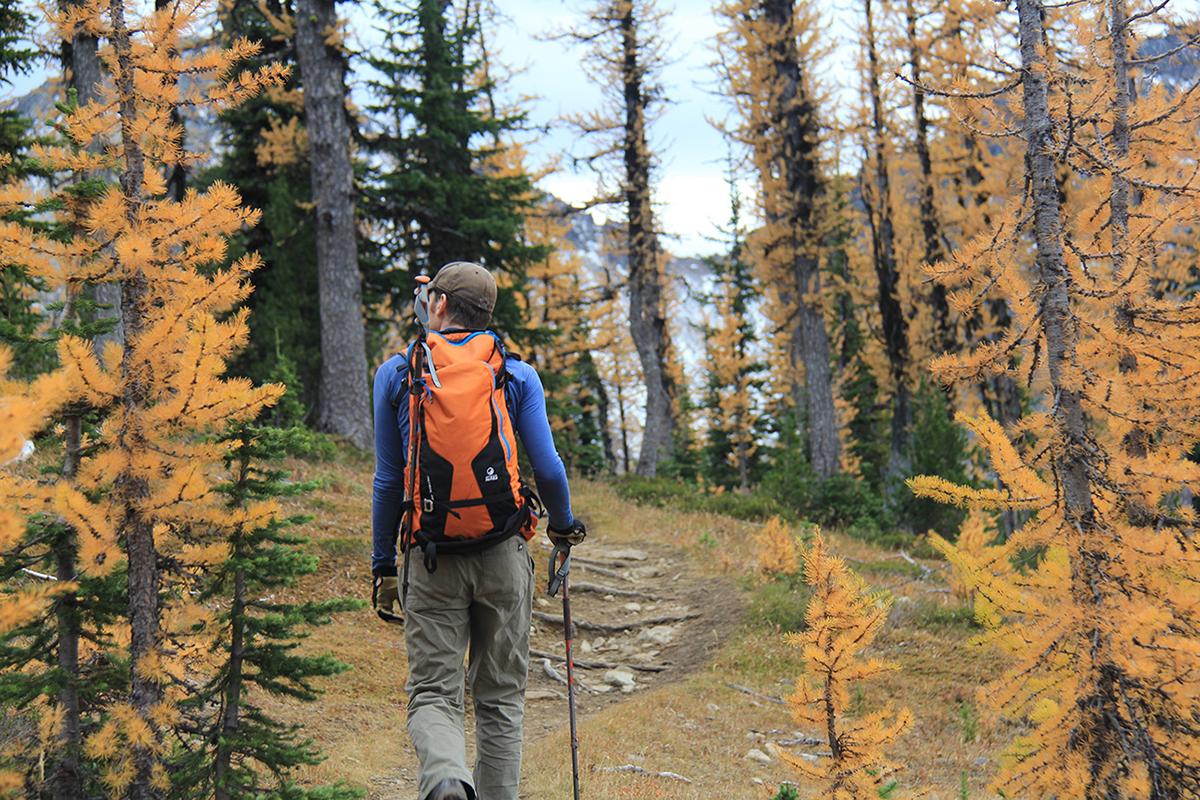
Manning Park Trail Highlights: Step into the wild wonder of Manning Park Resort, where lush forests, sparkling lakes, and alpine peaks set the stage for unforgettable hiking and biking adventures. Whether you’re wandering along a tranquil riverside path or conquering the heights of Mt. Frosty, you’ll be surrounded by breathtaking views, magical landscapes, and the sights and sounds of wildlife, wildflowers, and nature’s abundance. From peaceful strolls to adrenaline-fueled treks, there’s a trail here for every kind of explorer. Adventure awaits—just follow the trail.
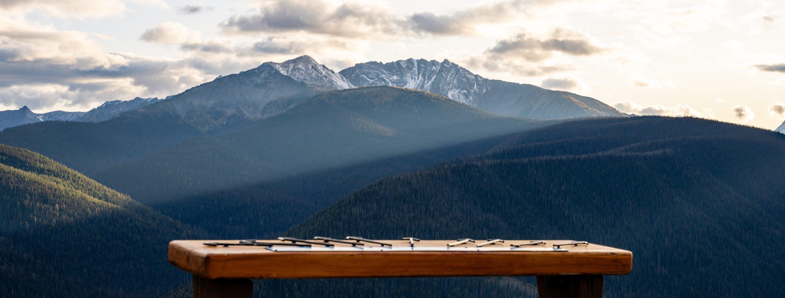
Similkameen Valley Trail Highlights: Whether you prefer hiking or biking the Similkameen Trails, you’ll find more than 40 marked trails between Manning Provincial Park, Cathedral Provincial Park, China Ridge Trails, Kettle Valley Railway, and the historic Hudson Bay Company 1849 Trail. China Ridge, near Princeton, has over 45 kilometres of well-maintained hiking, skiing, and riding trails winding through the Ridge and 19 ungroomed trails. Manning Park is filled with wildlife, and wildflower viewing is a favourite. Turn off near Keremeos, Cathedral Provincial Park is 2072 m (6800 ft) above sea level, offering an unspoiled wilderness adventure.
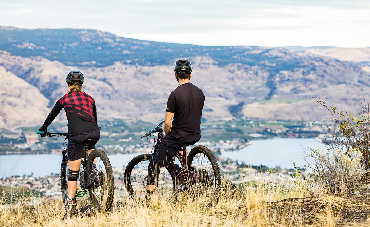
Osoyoos Trail Highlights: Find the best hiking and biking trails in Osoyoos like the Golden Mile, Osoyoos Oxbows, and more. Follow the Okanagan River Channel passing through vineyards and farms along the International Hike and Bike Trail, beginning at the North end of Osoyoos Lake. The Irrigation Canal Walkway is a walking trail that showcases our incredible desert ecosystem, as well as views of the town and Osoyoos Lake. The Golden Mile Trail provides a birds-eye view above the valley. At the north end of Osoyoos Lake, the Oxbows are an amazing wetland area for hiking, as well as birdwatching.
Boundary Country Rail Trail Highlights: Experience the Trails of Boundary Country from mild to wild. Midway in Boundary Country is Mile 0 of the Kettle Valley Rail Trail (KVR), where it meets the Columbia and Western Railway (C&W), forming a 240 km (149 mi) section of the Trans Canada Trail. This rail corridor has inspiring scenery and impressive views. The entire KVR is 600 km (373 mi) of travel routes, making it challenging for the more adventurous. There’s a great section of rail trail between Grand Forks and Cascade West that is designated non-motorized. This C&W section is approximately 18 km (11 mi) in total and mirrors the path of the Kettle River.